It was Sausage, baked bean, and olive night... who's hungry? We traveled all day down through Motutapu and through Invercargill for a relatively uneventful journey. We stopped in Invercargill for lunch, but decided there wasn't too much to do in town, and made tracks further east along the southern most coast of New Zealand. We finally stopped to camp at Monkey Island, a free camp site right on the beach.
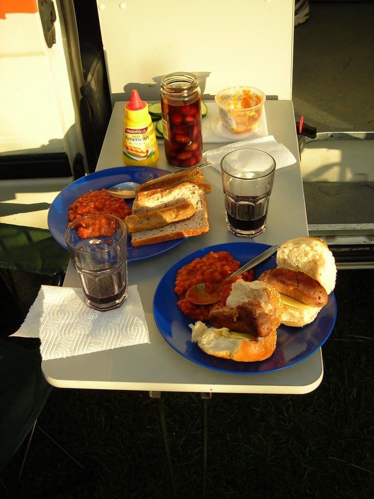
Did I also mention it was Gin night as well. Mmmmm.....Gin.... The beach was calm, and the weather on the way was wicked. It was a perfect setting for getting goofy on Gin.
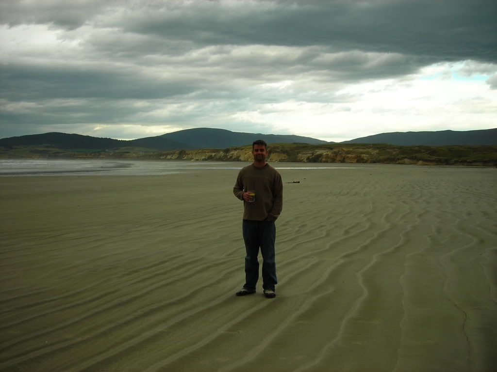
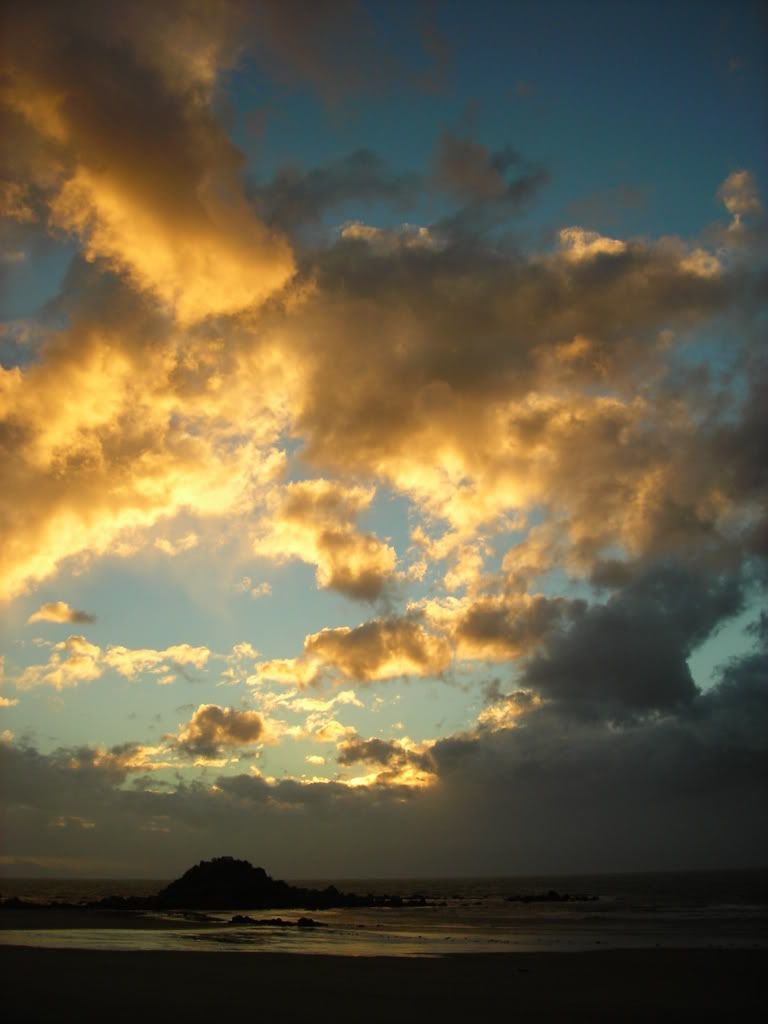
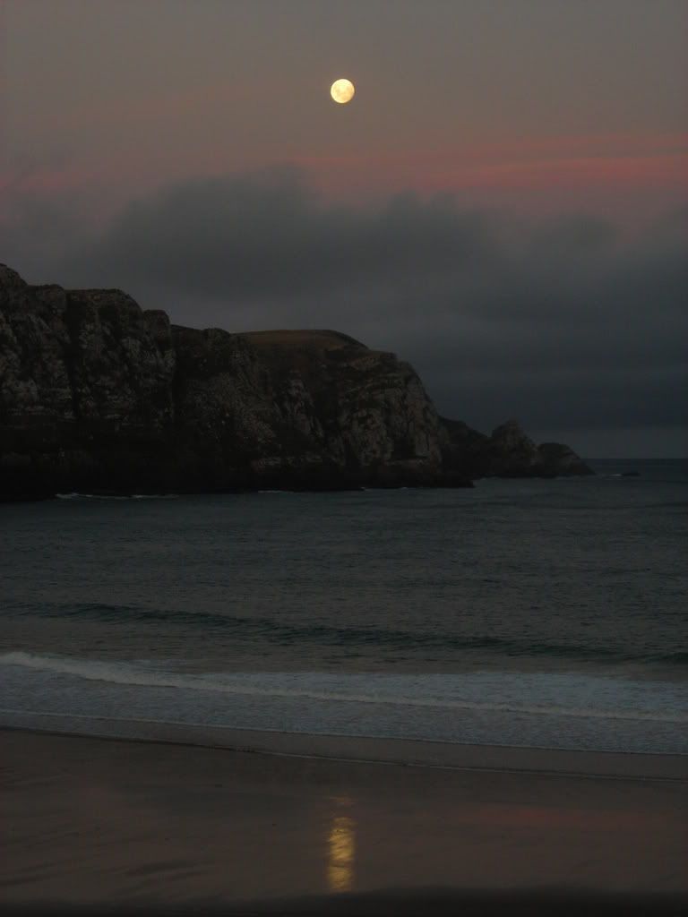
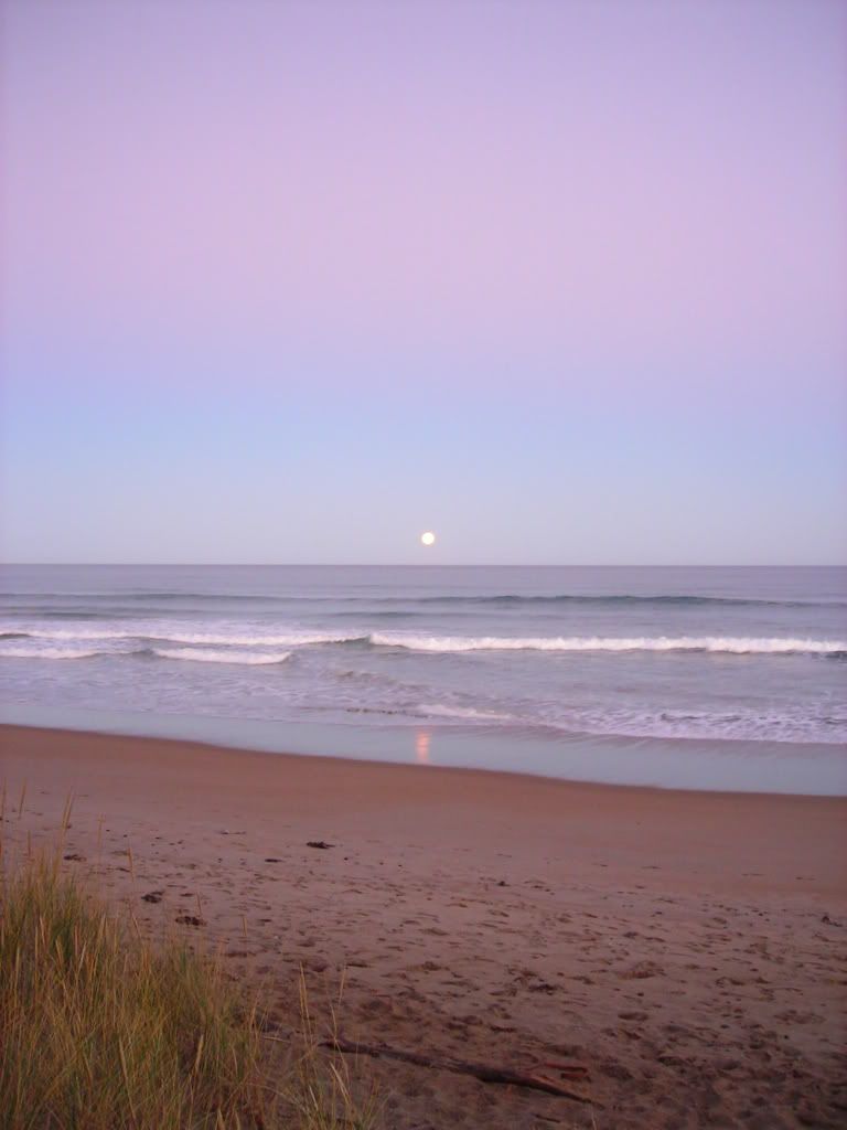
A front was moving in on us, ominous clouds formed just off the coast, moving in with the same frequency of the waves crashing on the beach. It looked like we were in for a long night of storms.
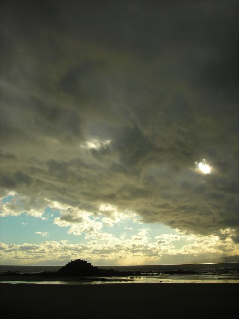
Yet, even though we could see the rain off in the distance, we never got wet. As the head of the front passed the beach, the wind gusted, blew over our chairs, and rearranged our dinner setup.
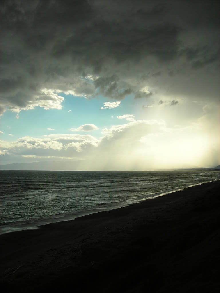
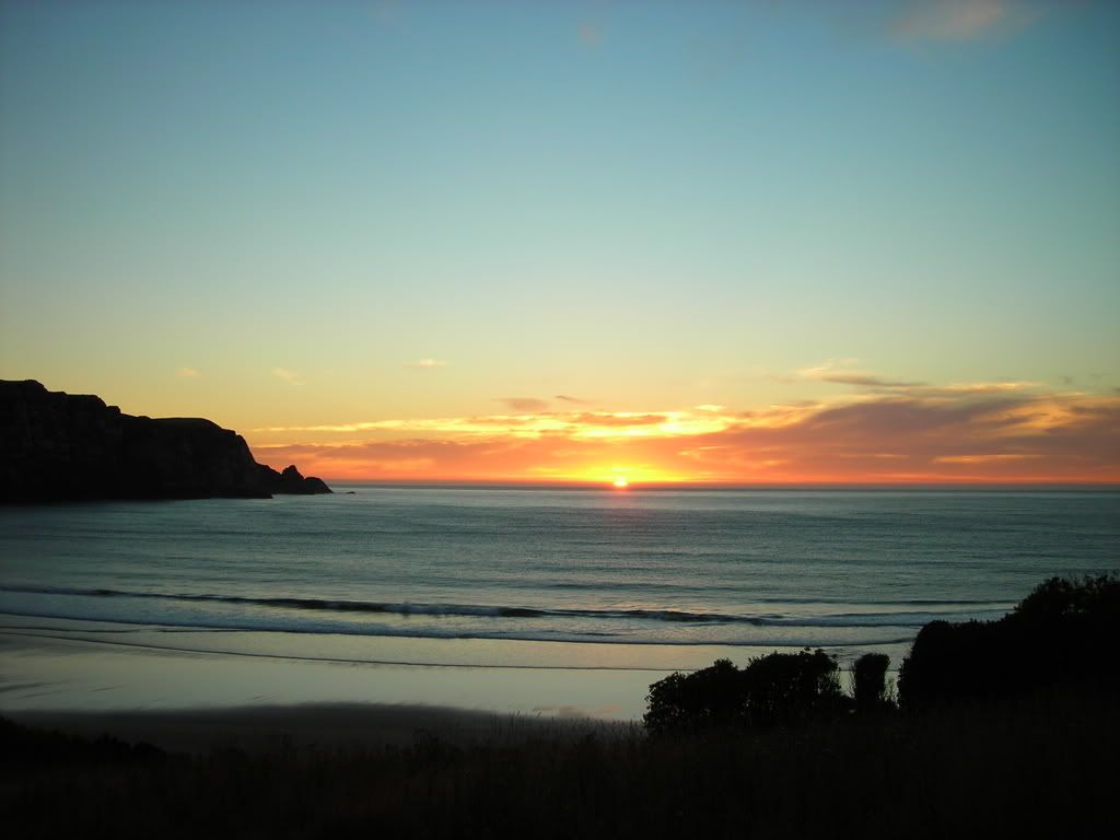
And just as quickly as it started, the front had past, we were no worse off that before, and the sun set on the remaining clouds behind the front causing them to glow orange and peach in front of a blue sky canvas. The sky in New Zealand was enormous that night. I know that sounds ridiculous, but the layers of cloud, some being so low that you think you can touch it, and some being so high that they seem like that are in space, create the illusion of endless depth and grander.
Anyway, the next day we were to head into the region known as the Katlands. Our first encounter in the area was at a light house on the coast.

At the time we arrived at the scene, this huge seal was chasing a group of British tourist up the hill from the beach. They were quite afraid. I kept my distance and was as polite as I could be.....
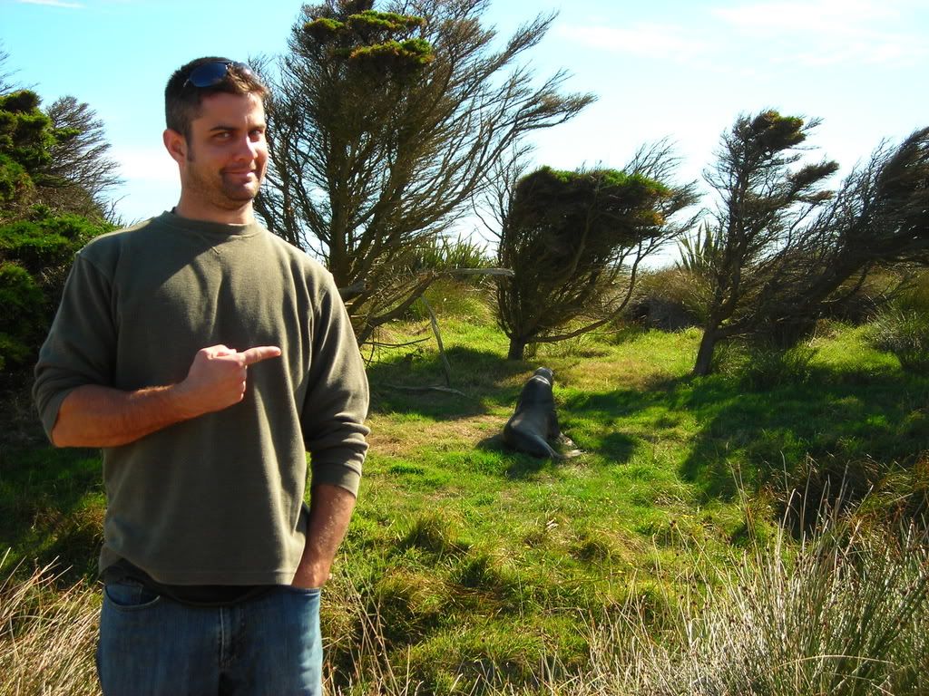
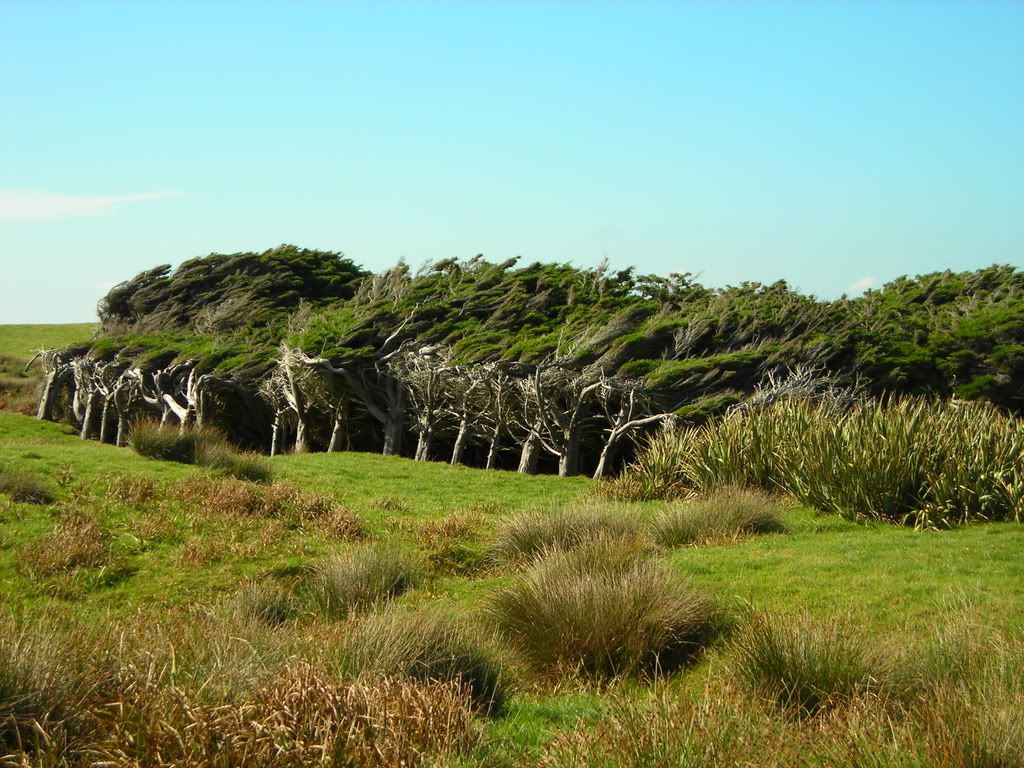
It was a bit scary, knowing that as we explored the area for a bit, there was an angry seal hiding somewhere in the bushes looking to attack an unfortunate tourist. He could have hid withing the shelter of these wind shaped trees for all we knew. These deformed trees were quite common along the coast.
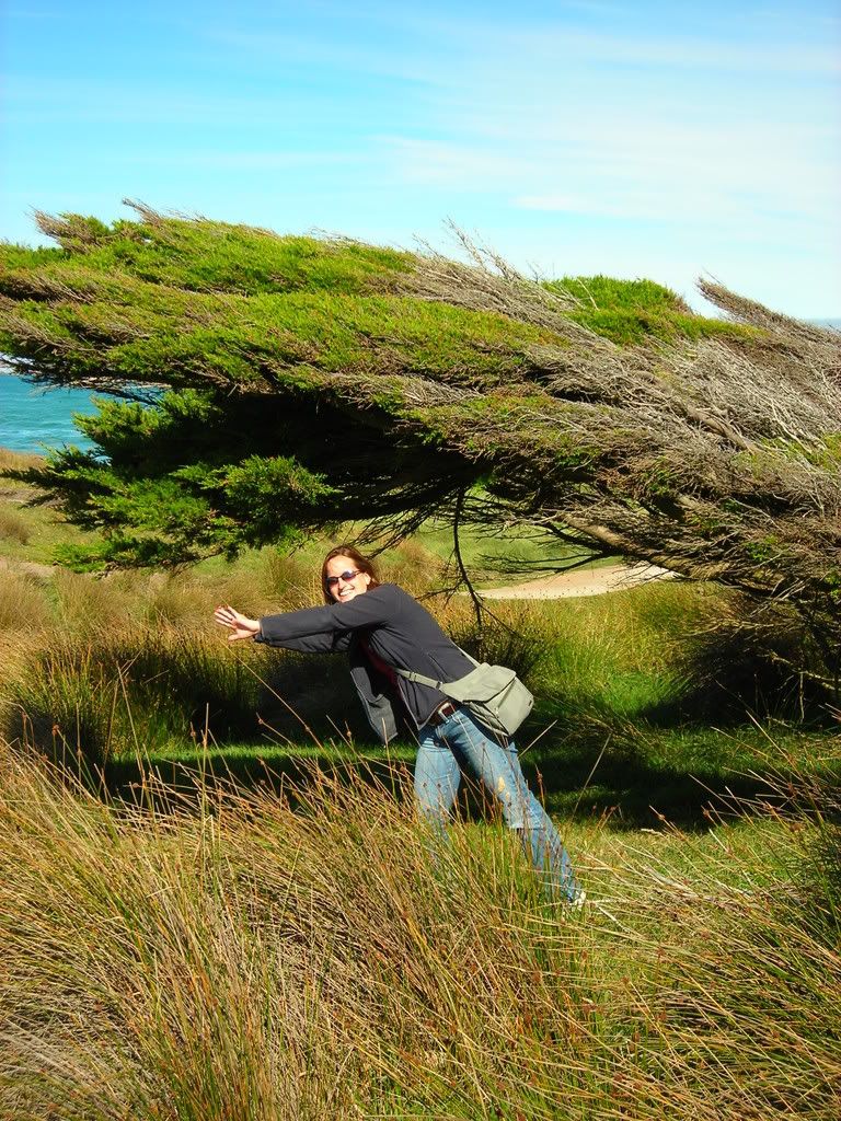
By this time of the trip, our pictures were getting more and more goofy....
 These boulders are mammoths, and almost perfectly spherical in shape. I could actually fit inside this one.
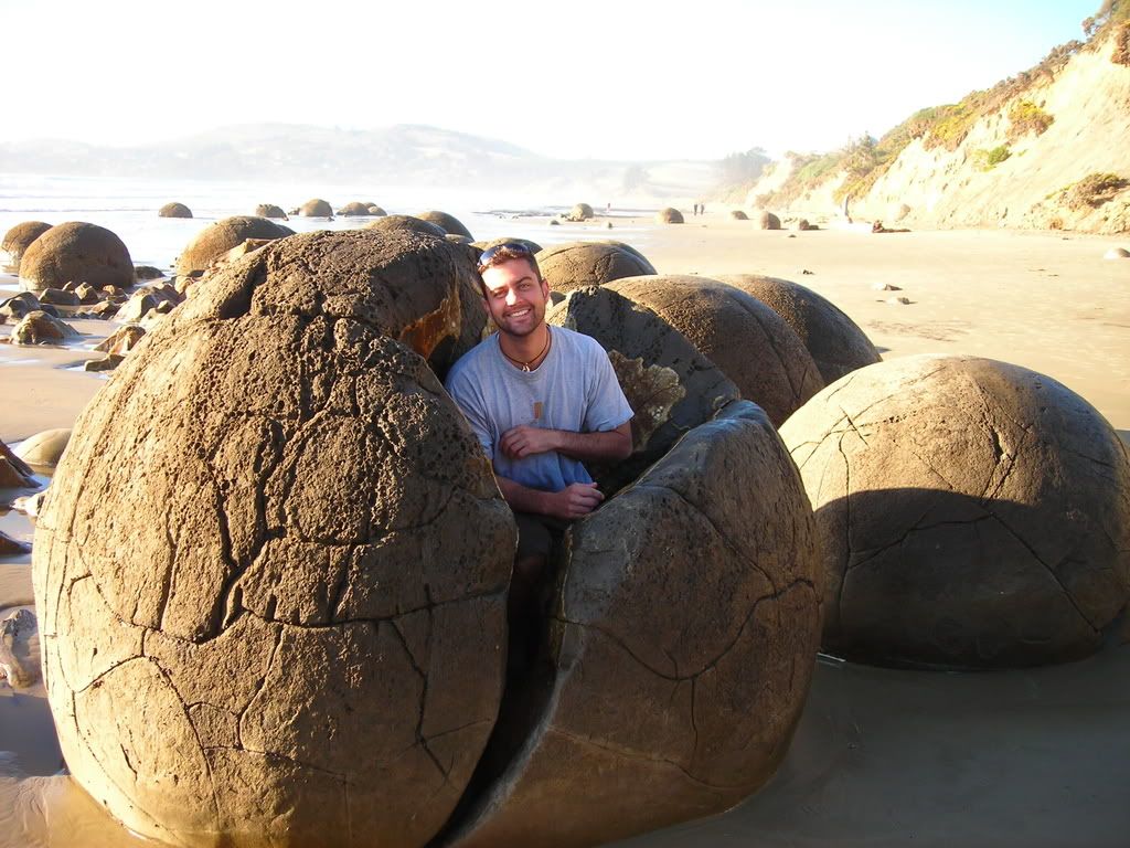 The interesting phenomenon is that they are only found on a short stretch of the beach, and that over time, the seas have polished them into their current shape. I reckon that the seas must have been a bit angrier several thousands of years ago to move these behemoths.
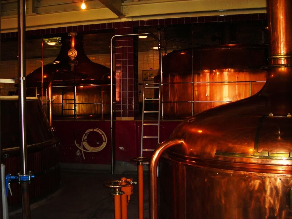
 From Moeraki, we traveled up to Omaru, a historically preserved town with heaps of charm. We stumbled upon a whiskey maker in town and went on a tour through the barrel house. That was sort of the highlight of the visit to Omaru, but there were a lot of antique shops and boutique art galleries to keep us busy for a while.
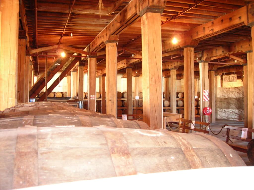 It was now time to fast track across Central Otago to the west coast of the South Island heading toward the mountains again. We stayed that night in Wanaka, a popular water skiing and snow skiing area just before you enter into glacier land.
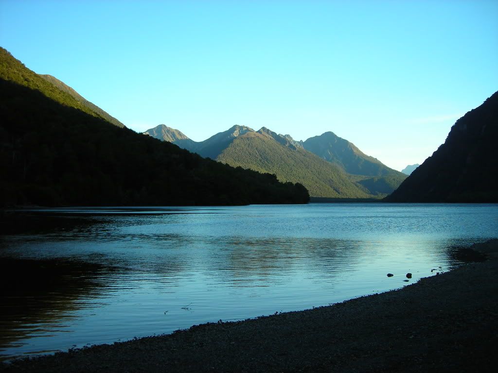
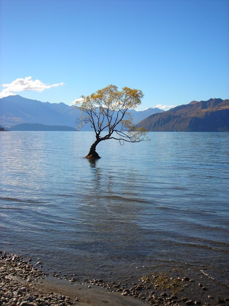 The lake and waterfront area were great, and the town was charming. The weather was nice enough that we decided to stay another day and go on a hike up to Roy's peak to get a panoramic view of the Lake Wanaka and mountains that surround it.
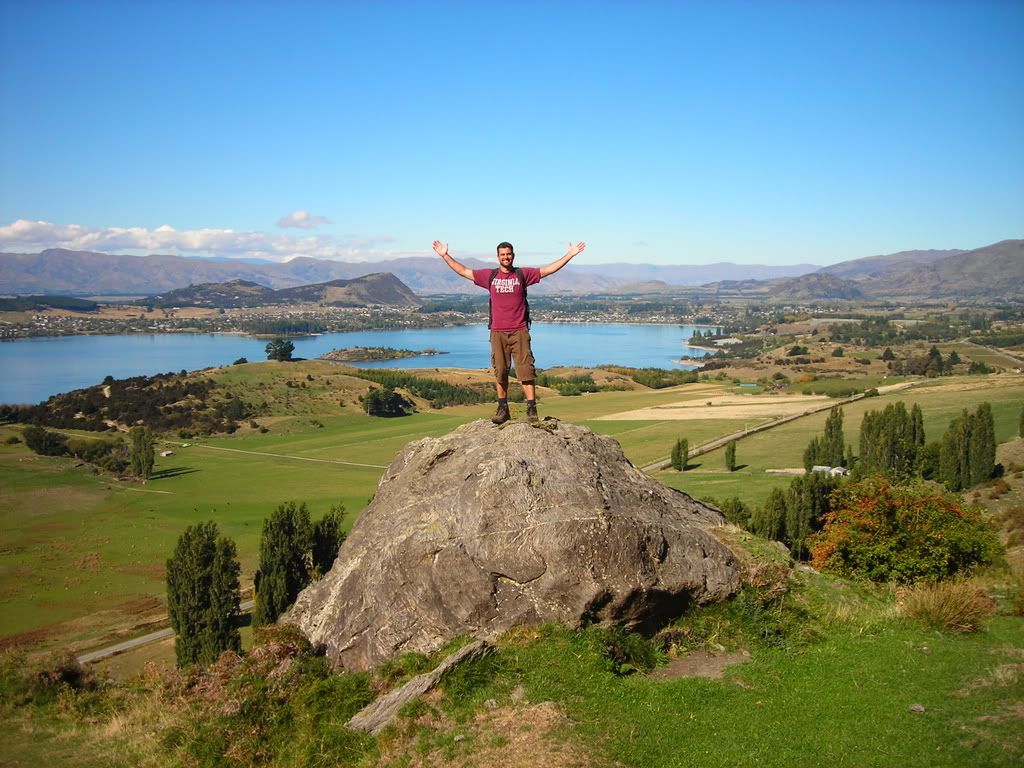 Again we woke up early, sometime after 10:00Am, and started our trek. No, that is not the peak that I have so proudly conquered in the picture above......that was just the beginning...
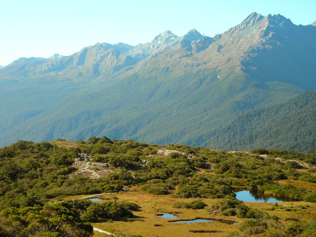
 The hike up to Roy's peak was spectacular,.... spectacularly excruciating on the legs. There were no flat portions to this hike, in fact, there were no soft grades to the trail at all, it was flat out hands on knees hiking the whole 2.5 hours to the summit. But you can't beat the views can you?
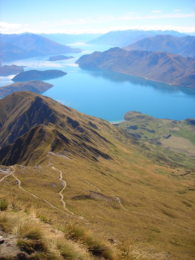 We packed a lunch that we quickly scarfed down as soon as we arrived at the summit. Denise was getting our bearings and pointing out what everything was around us. That is Wanaka township behind her.
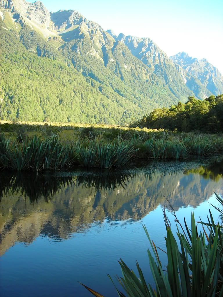
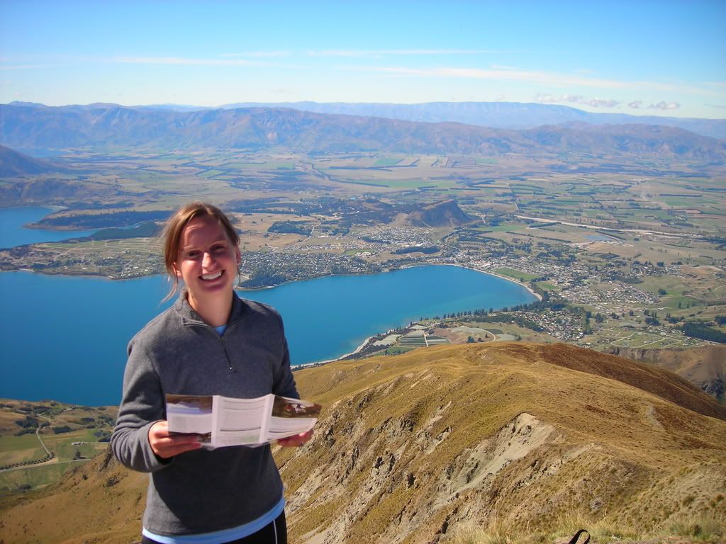 Directly opposite of Wanaka on the other side of Roy's peak was the great beyond, snow capped mountains and blue sky.
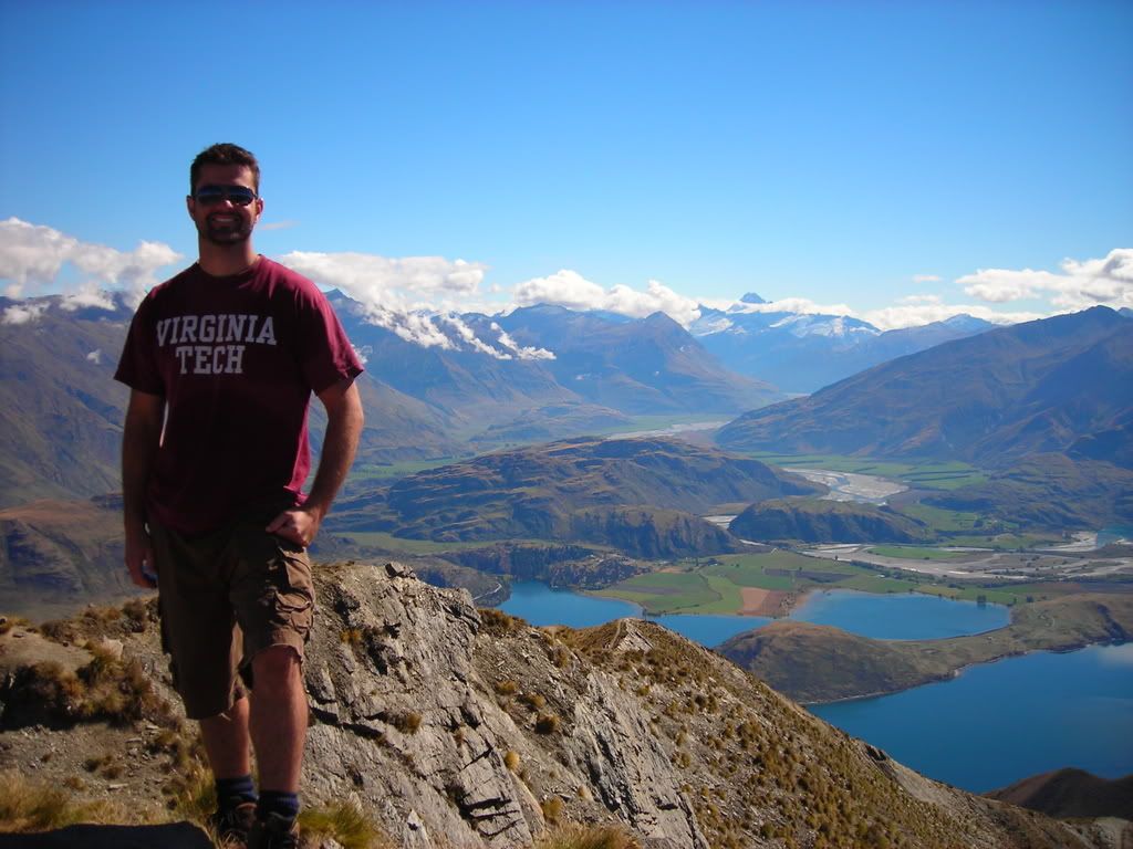 What's that saying, 'with great effort comes great reward?' This hike tested out that theory, and proved that our struggle to get to the top of the mountain was well worth the spectacular views. The trip down however seemed to be just as hard on the legs, and the only reward at the bottom of the mountain was to climb into our stinky camper van...........
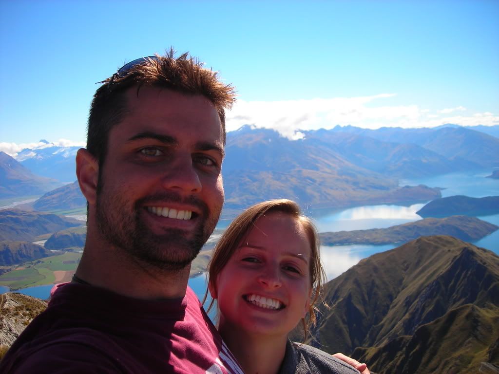


 Trust me, it was steep..!
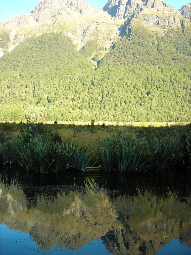
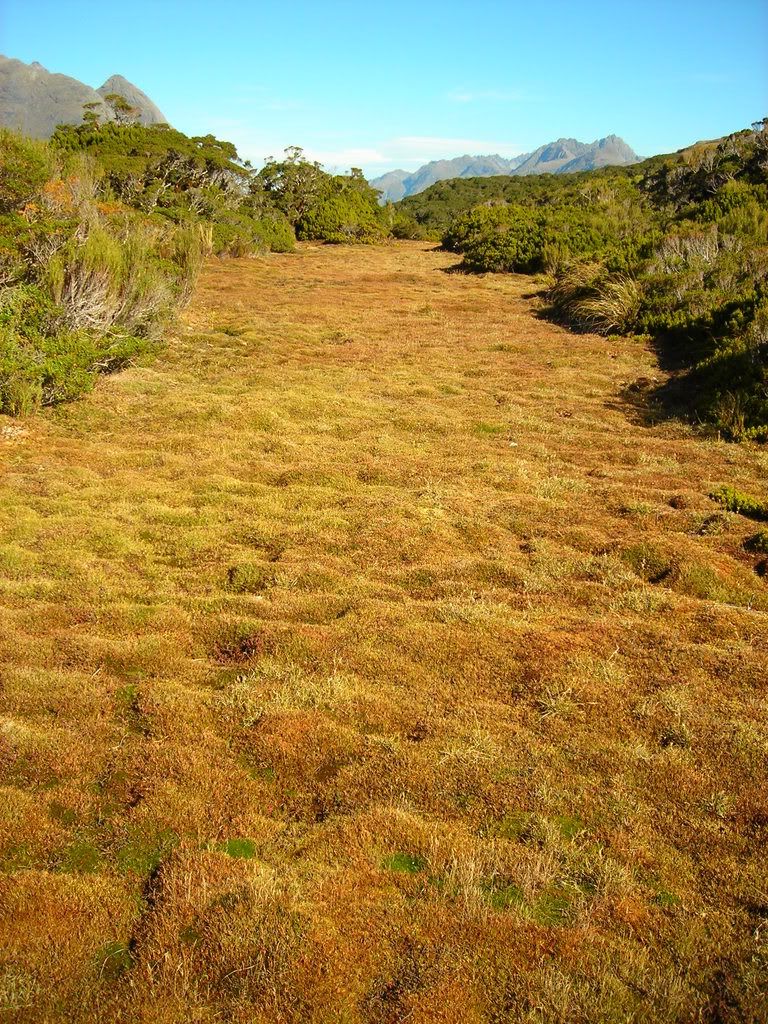
 As we finished our exploration of one of my favorite places in New Zealand, we snapped one last picture of the grassy valley that leads into the mountains. It was a spectacular view.
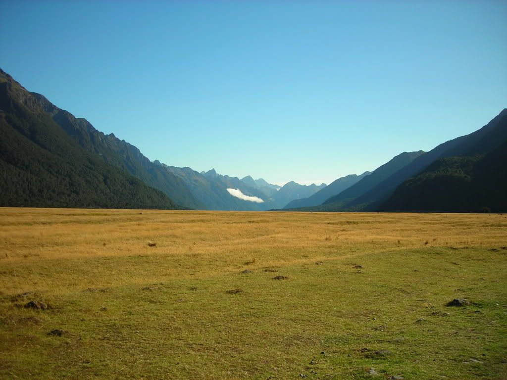