It was Sausage, baked bean, and olive night... who's hungry? We traveled all day down through Motutapu and through Invercargill for a relatively uneventful journey. We stopped in Invercargill for lunch, but decided there wasn't too much to do in town, and made tracks further east along the southern most coast of New Zealand. We finally stopped to camp at Monkey Island, a free camp site right on the beach.
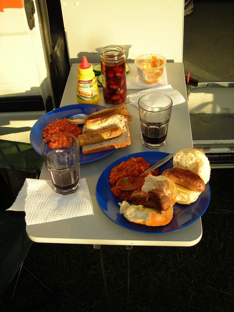
Did I also mention it was Gin night as well. Mmmmm.....Gin.... The beach was calm, and the weather on the way was wicked. It was a perfect setting for getting goofy on Gin.
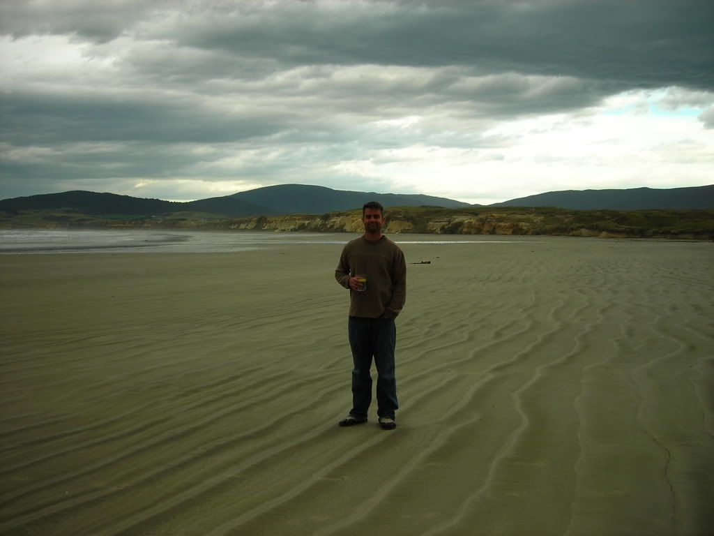
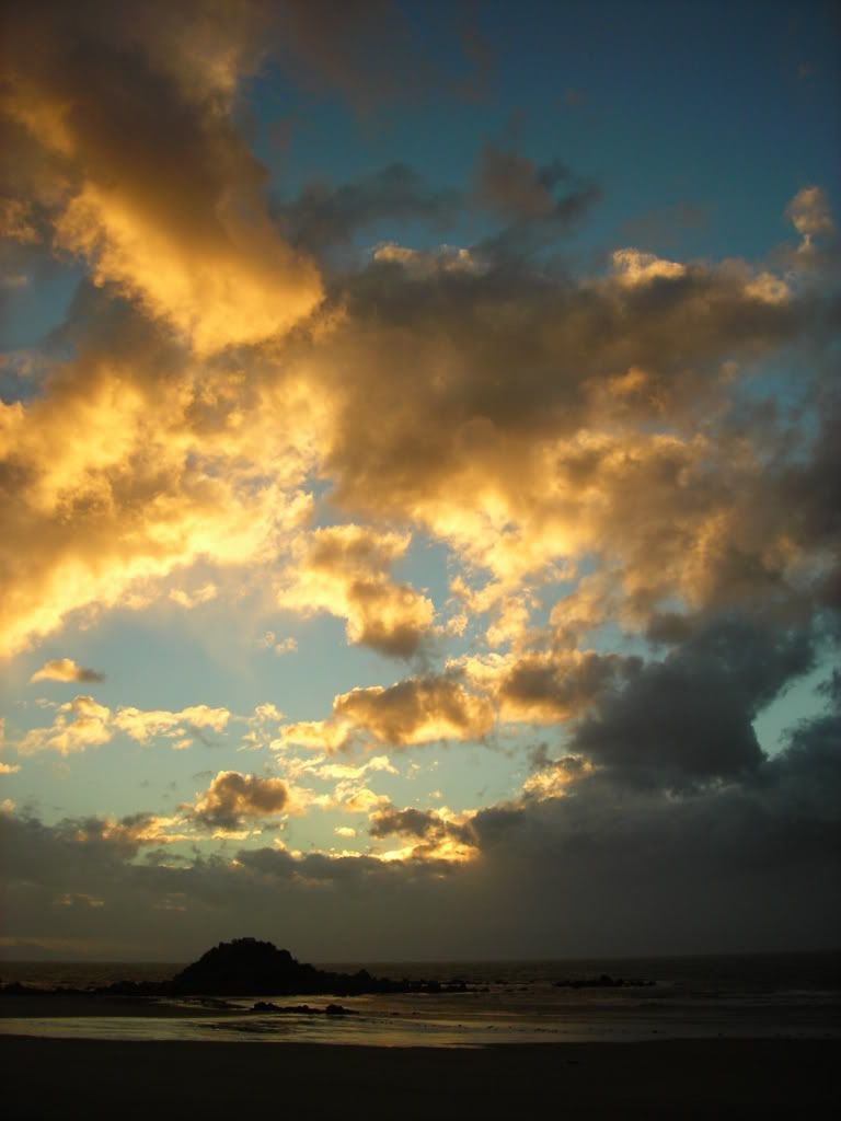
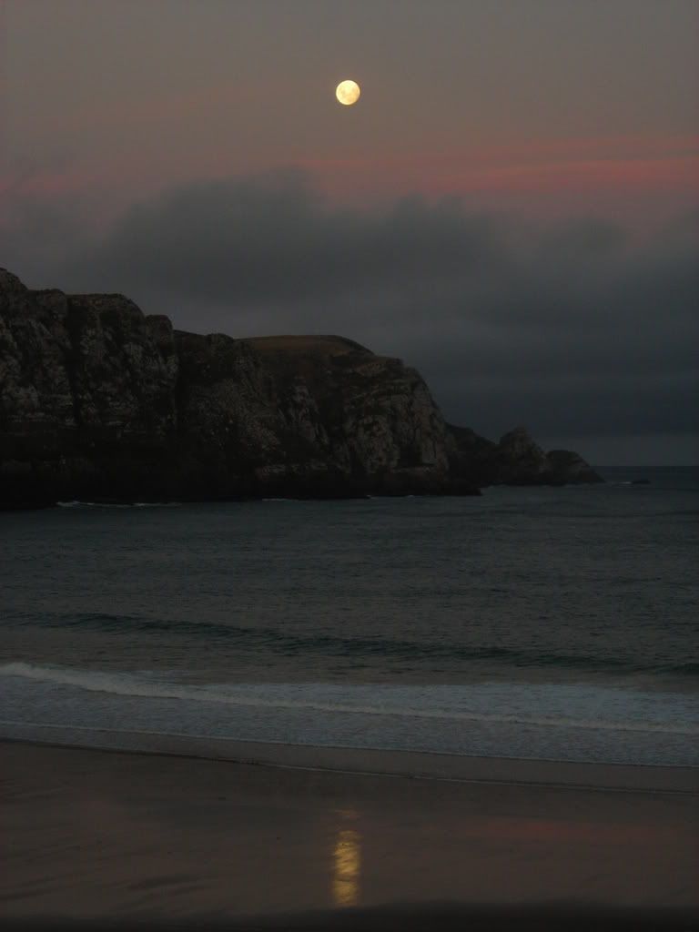
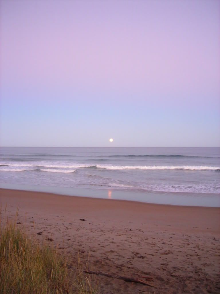
A front was moving in on us, ominous clouds formed just off the coast, moving in with the same frequency of the waves crashing on the beach. It looked like we were in for a long night of storms.
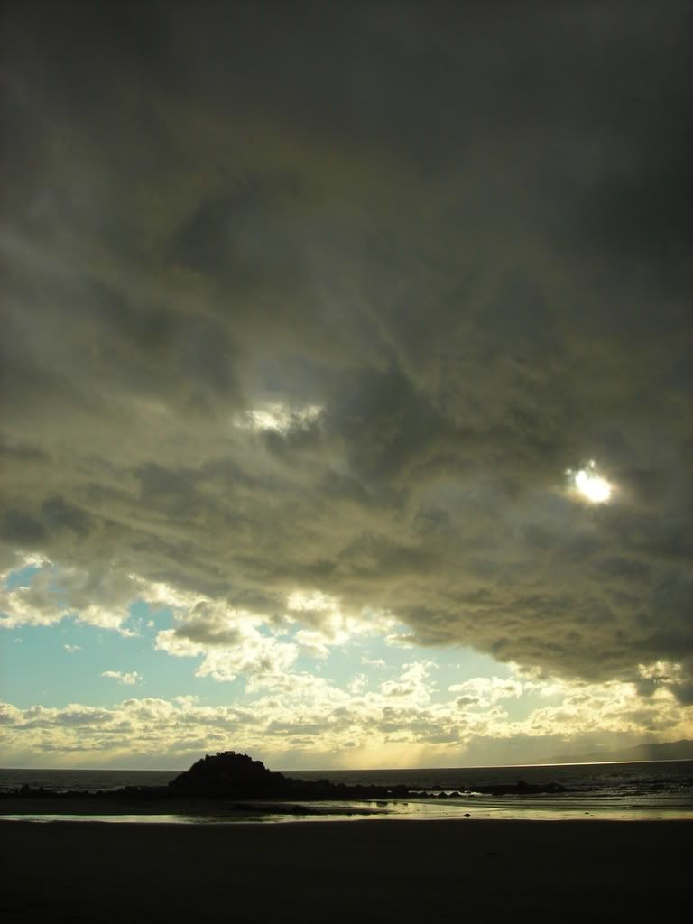
Yet, even though we could see the rain off in the distance, we never got wet. As the head of the front passed the beach, the wind gusted, blew over our chairs, and rearranged our dinner setup.
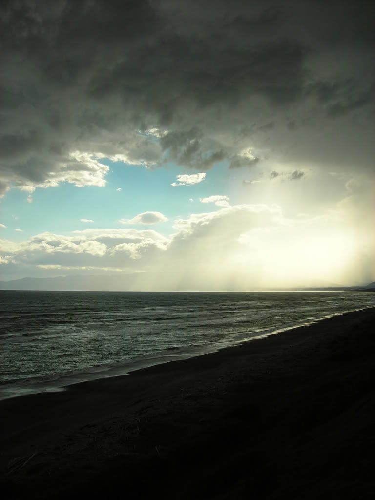
And just as quickly as it started, the front had past, we were no worse off that before, and the sun set on the remaining clouds behind the front causing them to glow orange and peach in front of a blue sky canvas. The sky in New Zealand was enormous that night. I know that sounds ridiculous, but the layers of cloud, some being so low that you think you can touch it, and some being so high that they seem like that are in space, create the illusion of endless depth and grander.
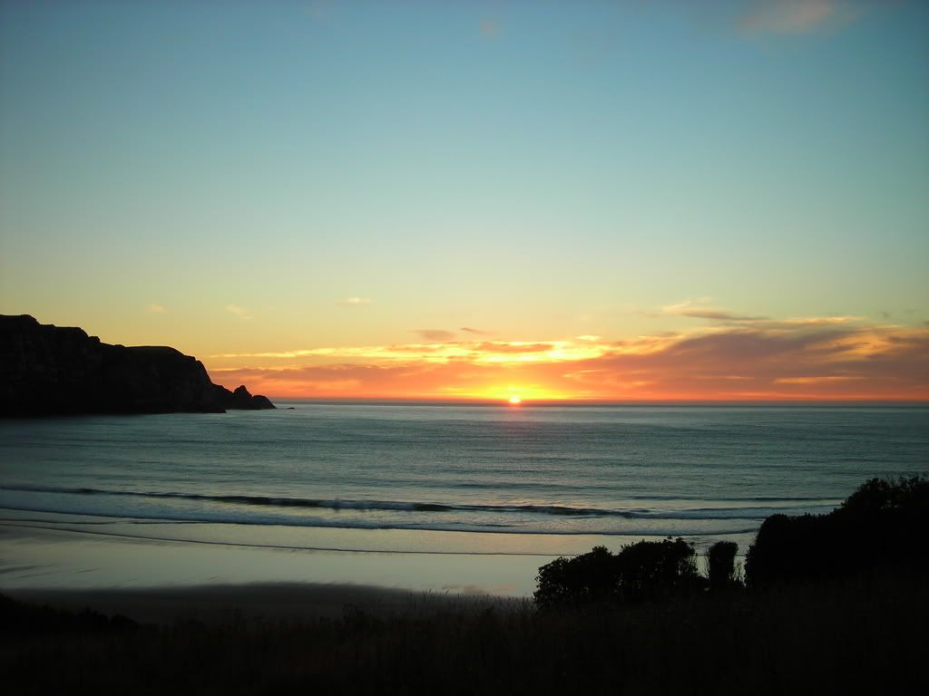
Anyway, the next day we were to head into the region known as the Katlands. Our first encounter in the area was at a light house on the coast.

At the time we arrived at the scene, this huge seal was chasing a group of British tourist up the hill from the beach. They were quite afraid. I kept my distance and was as polite as I could be.....
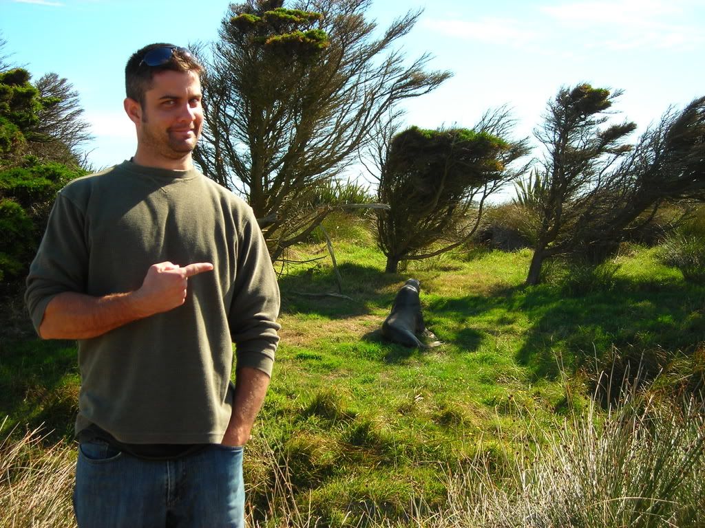
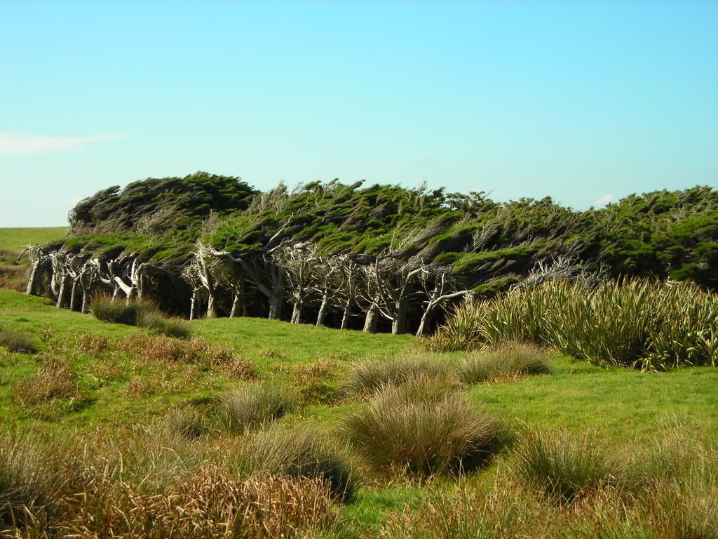
It was a bit scary, knowing that as we explored the area for a bit, there was an angry seal hiding somewhere in the bushes looking to attack an unfortunate tourist. He could have hid withing the shelter of these wind shaped trees for all we knew. These deformed trees were quite common along the coast.
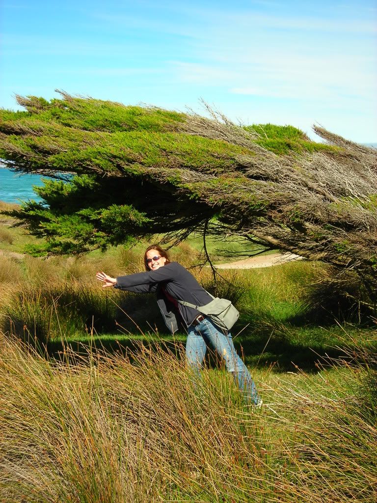
By this time of the trip, our pictures were getting more and more goofy....


 Despite the frigid temperatures, the hike was great, and gave all of us a hanker'n for more strolls thought the mountains. The summit was breathtaking
 We sad on the sunny side of the mountain, had some lunch, and stared onto the valley. It was great.


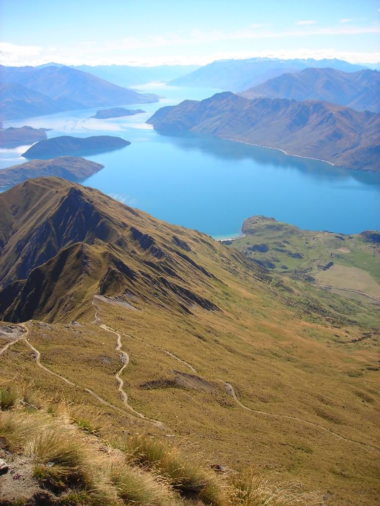
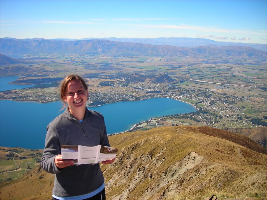
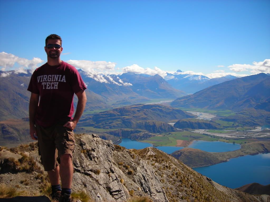 What's that saying, 'with great effort comes great reward?' This hike tested out that theory, and proved that our struggle to get to the top of the mountain was well worth the spectacular views. The trip down however seemed to be just as hard on the legs, and the only reward at the bottom of the mountain was to climb into our stinky camper van...........
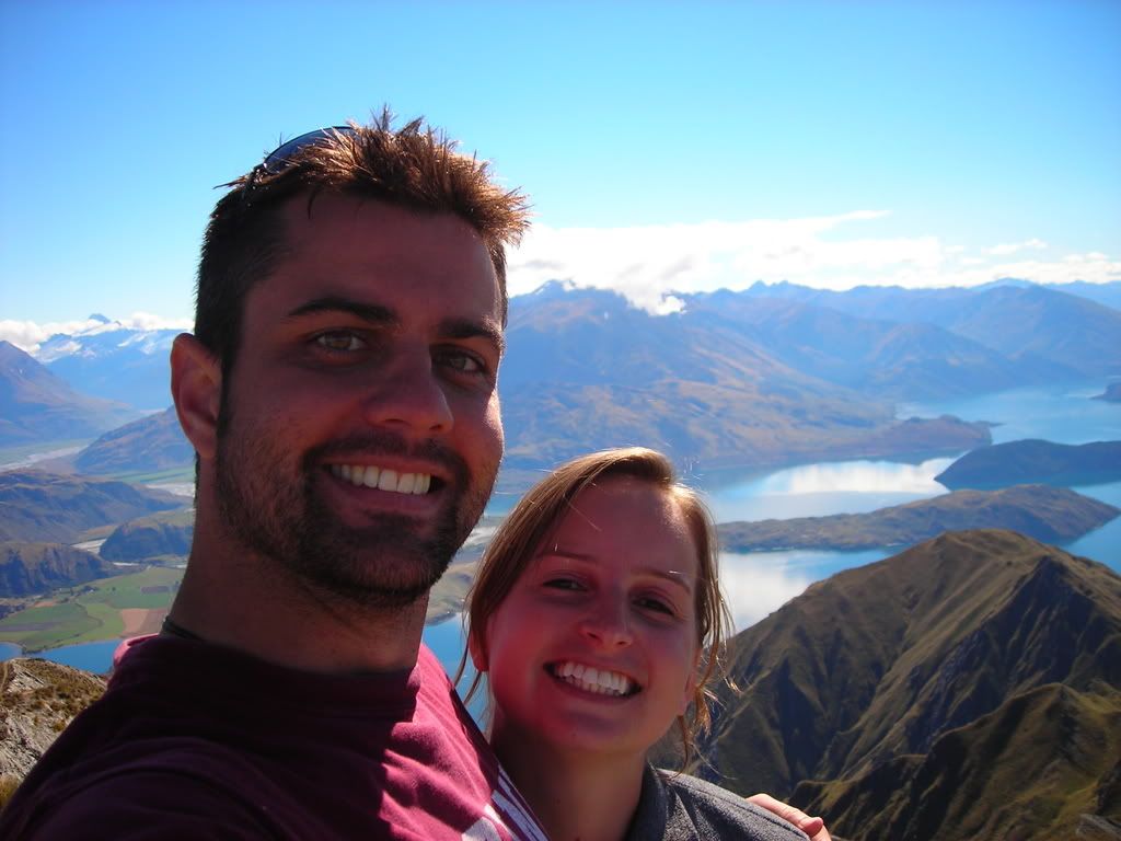


 Trust me, it was steep..!